
Common Mistakes in Cobalt Exploration and How to Avoid Them
Cobalt rarely sits in one tidy mineral. It turns up in oxide wads, locked inside sulphide lattices, in arsenide veins and scattered through laterite profiles — sometimes all within a few hundred metres of each other. That variety is what makes exploration programmes go wrong. Not usually through carelessness, but through assumptions that sounded reasonable at the time. Here are the mistakes that quietly cost projects time, money and credibility, and what to do instead.
Sampling errors that flatter your ground
The most common mistake is treating a grab sample as a grade. A hand-picked chunk of cobaltiferous wad from a creek bank might run several percent. The saprolite it came from might average a few hundred parts per million. Both numbers are real, but only one is useful when you start estimating tonnes.
Tools, bags and contamination
Steel scoops, rusty buckets and a shovel that last moved copper concentrate all add iron, chromium and stray metal to a sample. When you are chasing tens of ppm in a laterite profile, that background noise matters. Use dedicated, clean equipment: plastic scoops, fresh sample bags, and a sieve that does not shed its coating. Keep a separate kit for each prospect if you can.
Sampling the wrong horizon
In lateritic deposits, cobalt tends to concentrate in specific zones — often the limonite, and in some profiles the saprolite beneath it. Sampling only the rocky outcrop or the top of a hand-dug pit skips the part you actually want. A few habits prevent most of this:
- Sample the full profile at fixed intervals, and write the horizon next to every sample number.
- Log sample weight after drying. Cobalt-bearing wad is often fine-grained, and fines get lost when bags are shaken out.
- Take field duplicates as pairs, and label them so the laboratory cannot treat them as separate holes.
- Photograph each site with a scale and a north arrow. Future-you will not remember the trench.
- Mark disturbed ground — old pits, roads, artisanal workings — on the sample sheet, not just the map.
Assay interpretation: the parts people skip
Cobalt presents a digestion problem. Aqua regia will dissolve oxide-hosted cobalt reasonably well, but it can under-report cobalt locked in silicates or refractory sulphides. A four-acid digest will attack more of the sample, but it is also more aggressive and can change how other elements report. If you do not know which method the laboratory used, you do not fully know what your number means.
Two further traps sit in the certificate itself. A result flagged as above the calibration range is not a grade until the laboratory has run it again by a dilution or overlimit method. And a value below the detection limit is not zero — it is a value you cannot see. For resource work, ask for detection limits that sit well below your intended cut-off.
QA/QC is not paperwork
Insert certified reference materials, blanks and duplicates through the batch. If a blank returns cobalt above detection, your preparation is contaminated. If duplicates scatter widely, your sampling is noisy — and no amount of statistical modelling will repair that. Review the results as they arrive rather than at the end of the campaign, when a re-run means re-drilling.
Assuming cobalt follows copper or nickel everywhere
In some systems cobalt travels with nickel in sulphide minerals. In others it sits in its own phases, and the correlation you saw in one domain falls apart in the next. Check the relationship per geological domain, not across the whole database. The same applies to arsenic, which can point to cobalt arsenides — useful as a vector, awkward for processing.
Geological mapping mistakes
Mapping rock and ignoring regolith
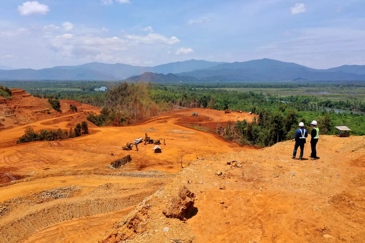
In weathered terrain, the regolith is the deposit. Map the weathering profile, the contacts between limonite, saprolite and fresh rock, and how those surfaces undulate. A map that shows only outcrop will mislead the drilling programme.
Treating indicator minerals as ore
Cobalt bloom — erythrite, a cobalt arsenate — is a superb vector. It tells you cobalt has been mobilised nearby. It does not tell you the grade, and it does not tell you the tonnage. Map it as an indicator, then test the ground properly. Note that cobalt arsenides are a dust hazard; follow site occupational hygiene procedures and take professional advice where exposure is possible.
Two dimensions where you need three
Structure controls where cobalt-bearing fluids went and where they stopped. Map faults, breccia zones and lithological contacts with dip and dip direction, and record them in a database rather than a notebook margin. Where ground is inaccessible, use geophysics and remote sensing to build hypotheses — then walk them.
Assuming continuity before you have tested it
Laterite horizons undulate. A single vertical hole proves almost nothing about lateral continuity, and a wide-spaced first pass can create a model that later drilling dismantles. Before building a three-dimensional interpretation, ask what the data can actually support. Get mineralogical work done early so you know whether the cobalt sits in an easily leached oxide or a stubborn refractory phase; recovery affects the economics far more than a small difference in head grade.
Field habits that prevent most of these errors
None of the fixes above are exotic. They are discipline, applied consistently, and they tend to fail when a programme is rushed. A short checklist before each campaign helps:
- Write down the question each sample is meant to answer, and what would change your mind.
- Agree sampling protocols in writing, then train everyone who will hold a scoop.
- Send samples to a laboratory whose digestion and detection limits suit your target elements.
- Insist on a QA/QC schedule, and review results weekly rather than at the end.
- Map regolith and structure together, in three dimensions, with measurements recorded digitally.
- Keep a clear chain of custody and a single, versioned database. Duplicate spreadsheets are where good projects quietly lose their audit trail.
- Challenge correlations before you rely on them, and re-check them as new domains appear.
Do these things and your assays will mean what you think they mean, your maps will survive scrutiny, and your next drill programme will be aimed at ground that deserves it.
Photo: María Muelas / Pexels